Local News
Aquifer Mapping Study To Appear Over Jefferson and Gage County Skies
Twinrivers

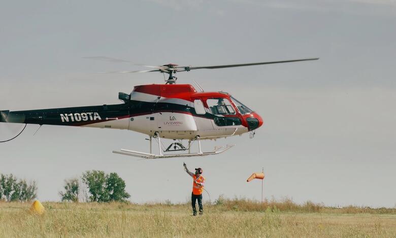
Starting around mid- to late-June and lasting up to a week, a helicopter towing a large hoop from a cable will begin making low-level flights over portions of Jefferson and Gage Counties as part of a geological and aquifer mapping study. The project could begin in early July depending on weather and other similar project …
Please login to view this content.